Sunday May 27, 2018
Details
The weather looks great for Sunday. Don't hesitate to sign up !
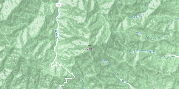
This is the announcement for the Mt. Oyama hike on Sunday, May 27th (NOT Saturday, as was initially planned). According to the local tourism board, "Mt. Oyama stands 1,252m high, and is located nearly in the center of Kanagawa Prefecture, within verdant Tanzawa-Oyama Quasi-National Park. Mt. Oyama has been an object of worship since ancient times, and during the Edo period journeying up the mountain became popular with the general populace.".
Out of several possible routes, we will be following the "Nature and view point trail". Detailed information can be found here: http://www.isehara-kanko.com/files/lib/1/84/201711161159454432.pdf .
The expected course time is 5-6 hours, including all stops and breaks. The difficulty level is 2 out of 5.
This will be a train-based hike. The departure time is ~6:30 from Tsukuba station. We will take a bus from Isehara station around 9:00 and start hiking around 10:00. (I don't think this is easily doable by car, but if you are stubborn enough to drive let me know.)
*What to bring:
Hiking/trekking shoes
Lunch (you can buy food at the base and top of the mountain)
Drinks
*Expected Cost:
Transportation: about 6000 yen round-trip
Club fee: 300 yen
Organiser

Co-organiser

Report
This is the report for the Mt. Oyama hike on Sunday, May 27th.
The weather was perfect throughout the day - sunny, but not unbearably hot.
Due to some last minute cancellations, 4 people met at Isehara station at 9:00.
After a crowded bus ride to the Oyama Cable bus stop and some preparations, we started hiking around 10:30.
We passed by Oyama-dera and climbed further to Afuri-jinja. There, to our horror, we found out that we had arrived in the middle of the local sake festival, which offered visitors the chance to try many different sakes from across Japan, for free, and in apparently unlimited quantities.
After a 15 min break in order to better understand the significance of the event, we continued our hike.
We summited around 13:00 and, after a lengthy lunch break, we started our descent.
The way down, while not difficult, was particularly hard on our knees due to the large number of steep steps, especially on the final part.
After a second crowded bus ride, we arrived back at Isehara station around 17:00 and boarded the Odakyu line towards Tsukuba.
*** As was rightfully pointed out during the hike, this route should be classified as 3/5 due to the large number of steep stone steps at the beginning (and end) of the course. These can be avoided by taking the cable-car. For the same reason, this course should be avoided in case of wet weather, due to the risk of slipping.
Location