Saturday May 21, 2016
Details
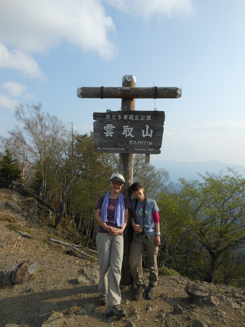
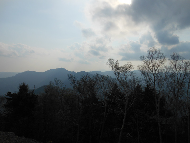
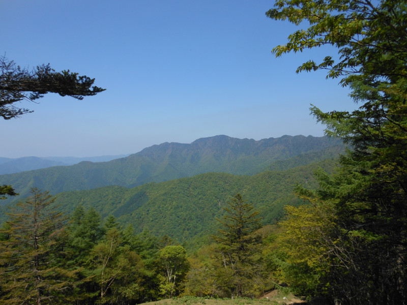
This mountain sits on the three-way prefectural border of Yamanashi, Saitama and Tokyo. It is also known as the highest peak in Tokyo, at 2017 m. A great view of Mt. Fuji is expected if the weather is good. The night view of Tokyo can be seen if we’re lucky. The difficulty level of this hike is 3 out of 5.
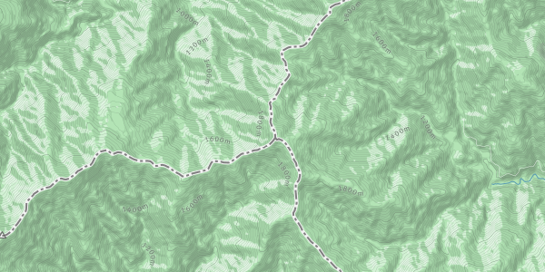
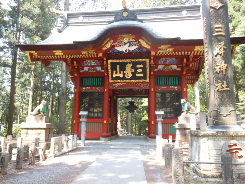
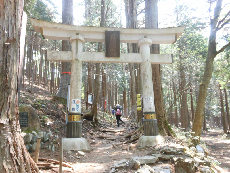
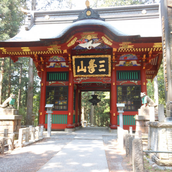
On day 1, we will take the Mitsumine (三峯) route starting from the Mitsumine shrine (三峯神社). From there, we will hike 5 hours 20 min passing our first target, Kirimogamine (霧藻ヶ峰), to the Kumotori hut (雲取山荘) where we will spend the night.
On day 2, we will reach the summit in the morning and take the Kamosawa (鴨沢) route towards Lake Okutama (奥多摩). It takes about 3 hours and 30 min passing the Nanatsuishiyama (七ツ石山) view point. If there is still time, we will stop at an onsen near the station.
The above map time does not include breaks, so the actual time will be longer.
This is a train-based hike. We will be leaving from Tsukuba station at 05:31, changing to the Musashino line, Seibu Ikebukuro line and then arriving at Seibu Chichibu station around 08:12. From the station, we will take a bus to the entrance of the mountain trail, which gets there at 09:45. On the following day, we will take a bus from Lake Okutama to Okutama station and will switch to the JR and TX. On each day, we will take about 4 hours for transportation.
What to bring:
- Good hiking boots
- Rain gear
- Hat
- Warm clothes (note that it is still cold in the mountain)
- Headlamp/torch
- Water
- 2 lunches (lunch for day 2 can be bought at the hut)
- Snacks
- Onsen kit
Cost:
- Transportation 6,580yen
- Hut including dinner and breakfast 7,800yen (w/o meal 5,300yen)
- Club fee 500 yen
- Onsen 780 yen
If you would like to join the hike, please contact Yumi with your name, cell phone number and meal preference at the hut. Yumi’s contact: twinkleachanstar@hotmail.com
We suggest that you buy hiking insurance from e.g. Mont Bell: https://hoken.montbell.jp/aboutdomestic/activity.php (site's only in Japanese but we are happy to help).
Organiser

Co-organiser

Report
This is the hike report of Kumotoriyama on May 21st and 22nd.
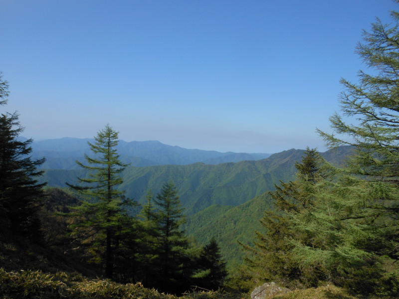
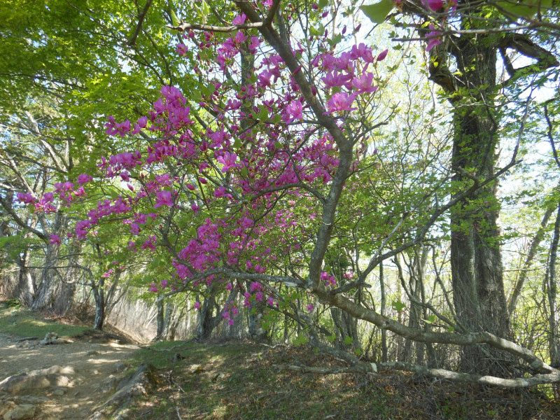
We were very lucky to kick off the season with perfect weather and no chance of rain. The trail was in very good condition. The level of the hike was intermediate, without requiring any specials skills.
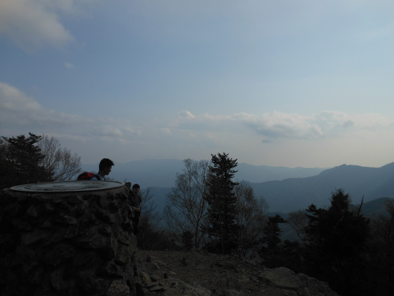
On day 1, we met at the TX station at 5:20 am and headed to Ikebukuro station. From Ikebukuro, we took an express train to Seibu-Chichibu station. From there we took a bus to Mitsumine shrine. We arrived at the shrine just before 10 am. The shrine itself was worth visiting, so we took a quick tour and then headed to the trail. The attitude of the starting point was 1,040m and the summit was 2,017m. We hiked along the well maintained trail with some ups and downs and we enjoyed the beautiful view of the Chichibu area. Just before reaching the hut around 3 pm, Kotaro left the group. He had to finish our 2-day itinerary in 1 day. We all joked around that he would spend the night at the emergency hut. The map time for the rest of the trail was 4 hours and the time left for Kotaro was 3 hours. Later at the night we found out that he finished the route with 1 hour to spare. Meanwhile, the rest of us checked in the hut and left the backpacks before climbing to the summit. The last 30 minutes to the summit were a little bit challenging as we were tired, but we made it. At the hut, we enjoyed the dinner and drinks.
On day 2, we were woken up by the last call for breakfast. Since we had reached the summit during the previous day, we went around the peak and headed towards Okutama Lake(Kamosawa route). Although the map time was around 3.5h, it took us 1h more to actually make it down. We arrived at the bus stop around 12:00 and were in Okutama Station by 13:00. Since there was enough time, we decided to stop by a nearby onsen before leaving. We took the train back to Tsukuba and arrived back here around 18:00.
We would like to thank Anja and Kotaro for joining and look forward to the next hike.
Location